


24 km | 34 km-effort


User


FREE GPS app for hiking
 SityTrail
IGN / Geographical institutes
SityTrail World
The world is yours!
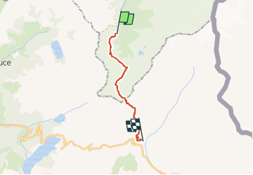
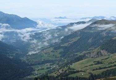
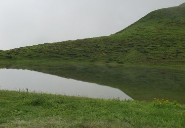
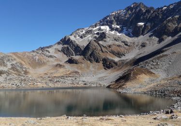
Trail On foot of 13.5 km to be discovered at Auvergne-Rhône-Alpes, Upper Savoy, Les Contamines-Montjoie. This trail is proposed by pensionisten71.
TMB Etape 3
des Chapieux navette Bourg Saint-Maurice ou Ville des Glaciers
Walking
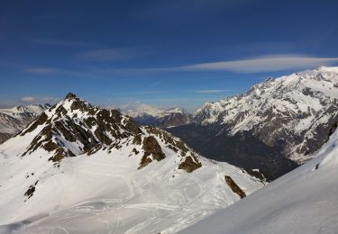
Touring skiing
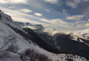
Touring skiing
Touring skiing
Touring skiing
Walking
Walking
Walking
Walking